





Home/Dolomites Hiking Tours/Adamello-Brenta
Exceptional diversity of the Brenta Dolomites and Adamello-Presanella mountain ranges
Vast virgin pine forests of the northern Brenta
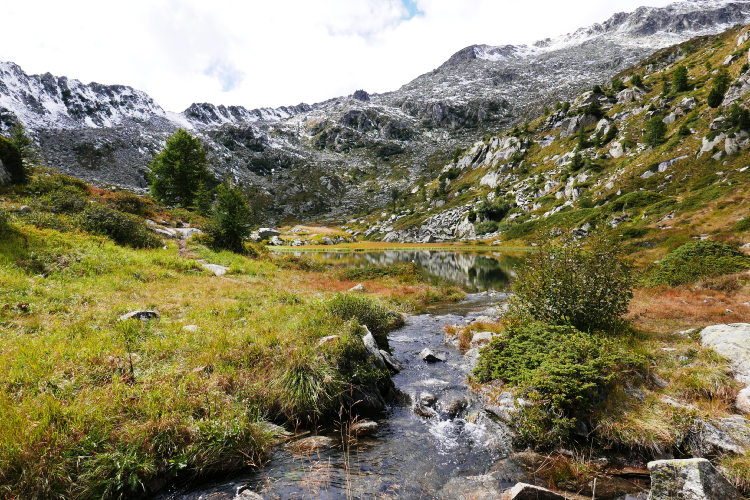
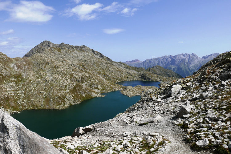
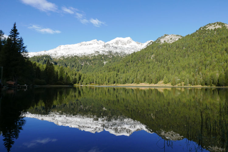
Beautiful lakes at all altitudes and of all colors
Rich flora of the well-protected wildlife refuge
Rest and enjoy an evening in the historical alpine resort of Madonna di Campiglio
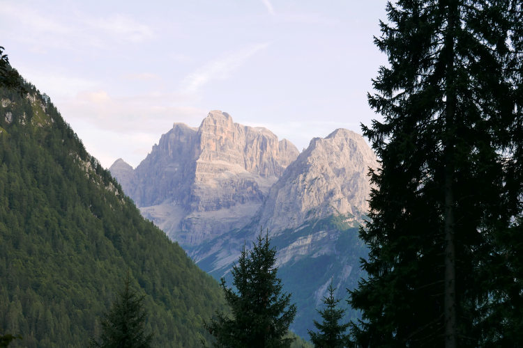
Admire the Brenta Dolomites’ famous sunsets
Established in 1967, Adamello-Brenta Nature Park is one of the largest protected areas in the Italian Alps. The concept of the park aims at protecting the natural and environmental characteristics of the territory and on promoting limited and responsible tourism. As a result, today it is one of the wildest areas of the Alps with minimal economic activity. In this status, the park is not a destination for mass tourism - hikers find excellent solitude on the trails of Adamello-Brenta.
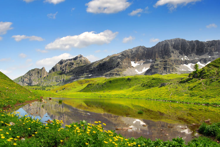
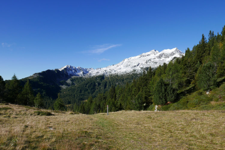
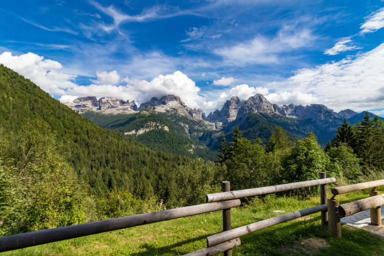
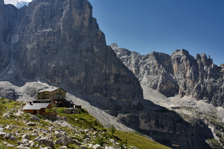
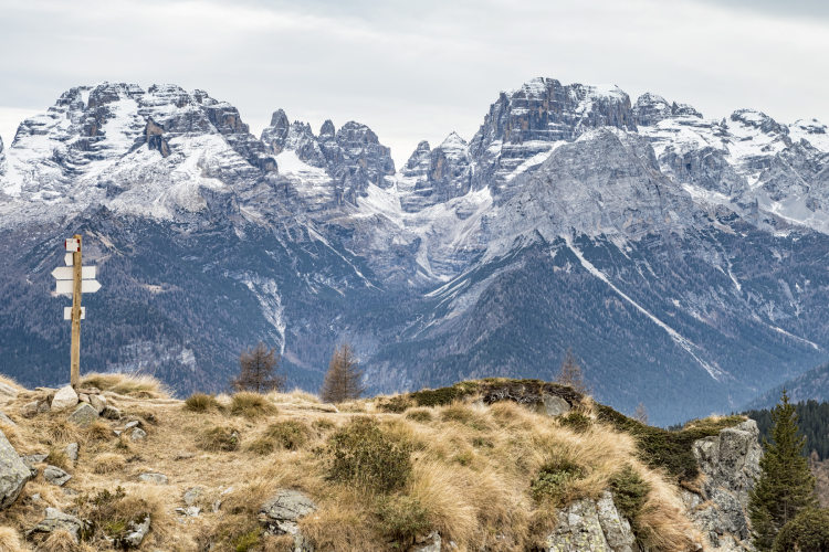
The park covers two mountain ranges - Adamello-Presanella and Brenta Dolomites. The two ranges differ in every aspect which makes hiking in the Adamello-Brenta Nature Park very diverse. First of all, these mountains differ in geology. The Brenta Dolomites rage was mainly built by corals in a prehistoric ocean 230 mln years ago. Formation of the Adamello-Presanella range is a result of the Alpine orogeny 50 mln years ago. For hikers, this combination of two totally different mountain ranges means a great variety of landscapes and flora, colors and shapes. Even within a day, the scenery along the route varies between lakes, lifeless lunar terrain, pine forests, warm meadows, patches of winter snow, high passes, mountain streams and waterfalls.
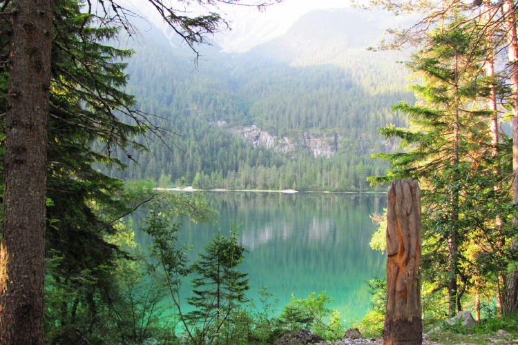
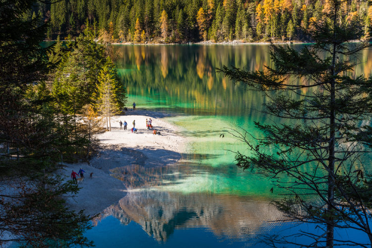
Adamello-Brenta is famous for its lakes. Among the numerous lakes on the route, Lake Tovel is the one of extraordinary beauty. A naturalistic treasure, once known as the Red Lake, Tovel used to turn red each July until 1964 thanks to a rare algae. This algae no longer lives in the Tovel’s waters, but the lake remains a regional landmark especially popular among photographers for its picturesque scenery.
This is a Level 3 hut-to-hut hiking trip, thus moderate in difficulty and duration. We designed it for hikers with a normal level of fitness willing to walk 6 to 8 hours a day including stops and at a moderate pace. The complete itinerary starts in the Adamello-Presanella range and continues in the Brenta Dolomites. It runs along well-maintained and marked trails, and it bypasses via-ferrata. You will mostly walk above the treeline - roughly 2/3 of the itinerary. However, you will almost not ascend above 2,500 m of altitude where the terrain is rough. The forest at lower altitudes is mainly coniferous. The route does not cross the central area of the Brenta Dolomites with its challenging terrain.
You will stay overnight at manned mountain huts at elevation between 1,200 m and 2,500 m. The standard of the huts on this route varies from the basic to significantly higher than an average. Most huts can offer accommodation both in dormitories and in private rooms. Breakfasts and dinners are served at huts and are included in the cost of the trip according to our standard for the hut-to-hut hiking trips. The base camp location for this trip is the Val di Sole valley where we provide accommodation for the first and final nights of the trip.
StyleHut to Hut Hiking
Tour Duration6 - 9 days / 5 - 8 nights
Start / FinishVal di Sole
Validity of prices: Summer 2026.
Private guided tour: the price is based on a minimum of 4 participants.
Private guided and self-guided tours are private tours on the dates of your choice.
See tab Prices for minimum and maximum group size, included services, single supplements and other details.
Day 1: Arrival in Val di SoleThe base camp location for this trek is Val di Sole, a remote valley on the western edge of the Dolomites. Today, you arrive in Val di Sole on your own and check in at the base camp hotel. The valley is nestled in between the Ortler-Cevedale range and Brenta Dolomites. The small towns in the center of the valley are a strategic point to easily reach all landmarks of Val di Sole and the nearby Val di Rabbi. The name Val di Sole presumably originates from Sulis - the Celtic goddess of waters. This region is known for its thermal spas Rabbi and Peio and a ski resort. Each valley in the Italian Alps produces its unique cheese, and Val di Sole is not an exception. The local cheese Casolet is an integral part of the Val di Sole culinary traditions. You won’t miss tasting it if you’d like to - it’s used on pizza, in salads and in all dishes cheese can go with. |
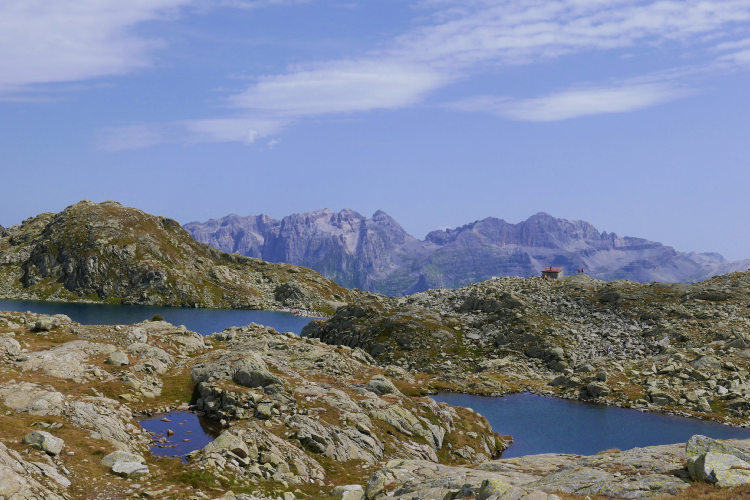
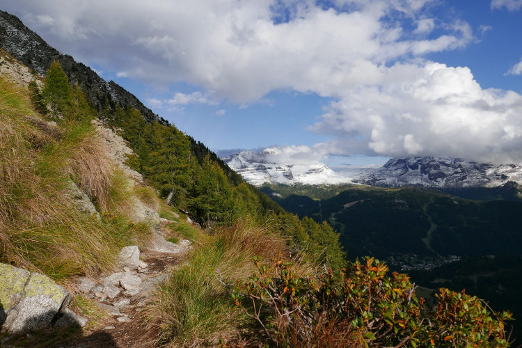
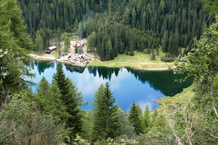
Day 2: Forests of PresanellaAscent 620 m. Descent 880 m. Altitude 1770 - 2290 m. Distance 13 km. Walking time 5 hours. In the morning, you will reach the trailhead by taking a lift from the valley. You will start walking at an altitude of 2050 m. It’s the Presanella group, non-dolomitic mountains, reach of water and wildlife. The today’s itinerary runs through pine forests and regularly reaches high-altitude meadows and lakes above the treeline. It is a pleasant walk as you can enjoy the overwhelming views of the Brenta Dolomites from the slopes of Presanella. The two mountain groups stand one in front of another. Presanella is famous for its numerous lakes. Some of them are hidden in the forest, while others are on open slopes overlooking the Brenta. The day ends at one of such lakes, Nambino. It’s surrounded by the forest and is a popular destination among fishers and photographers. |
Day 3: The Five LakesAscent 670 m. Descent 920 m. Altitude 1460 - 2410 m. Distance 14 km. Walking time 6 hours. The hike continues on the slopes of Presanella, and also today you will reach lakes, mostly at a higher altitude above the treeline. The Five Lakes hiking route is among the most renowned walks of the Adamello-Brenta Nature Park. It features enchanted scenery and very rich flora. Your today’s itinerary is planned so that you reach the lakes and other landmarks 1-2 hours earlier than the day tourists arriving from Madonna di Campiglio with the lifts. You will be walking in a perfectly preserved protected area known for its crystal clear lakes surrounded by rhododendrons and gentians. The Adamello-Brenta Nature Park is home to a large population of chamois. You'll see them in the morning if you are the first on the trail. At the end of the day, you will descend to Madonna di Campiglio, a famous alpine resort town, where you can rest and stroll along its nicely decorated streets before spending the five coming days in wilderness. |
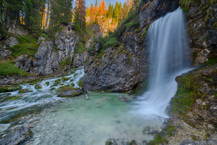
Day 4: Vallesinella WaterfallsAscent 860 m. Descent 200 m. Altitude 1510 - 2190 m. Distance 11 km. Walking time 5 hours. Today, you start in Madonna di Campiglio and walk straight to the heartland of the Brenta Dolomites. The first highlight on your route in Brenta are the Vallesinella waterfalls. It’s one of the calling cards of Adamello-Brenta Nature Park. You will reach the waterfalls in the morning while still walking through pine forests covering the slopes below 1800 meters. The trail snakes up the slope crossing the stream multiple times. There is a series of wooden bridges letting you approach the cascades, breath the cool air and take photos. From the waterfalls, the trail slowly ascends out of the forest and approaches the massive walls of the central Brenta. Your hut for tonight is at 2200 meters. Beautiful views open up from the nearby slopes to the west of Brenta where the Adamello group still preserves its glaciers. |
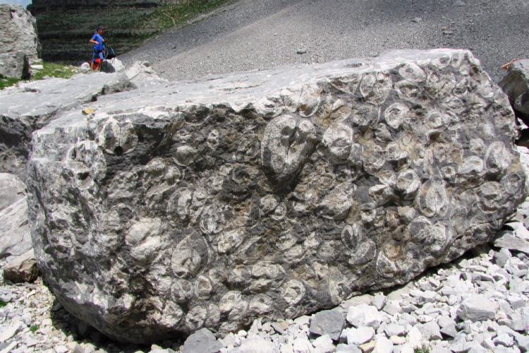
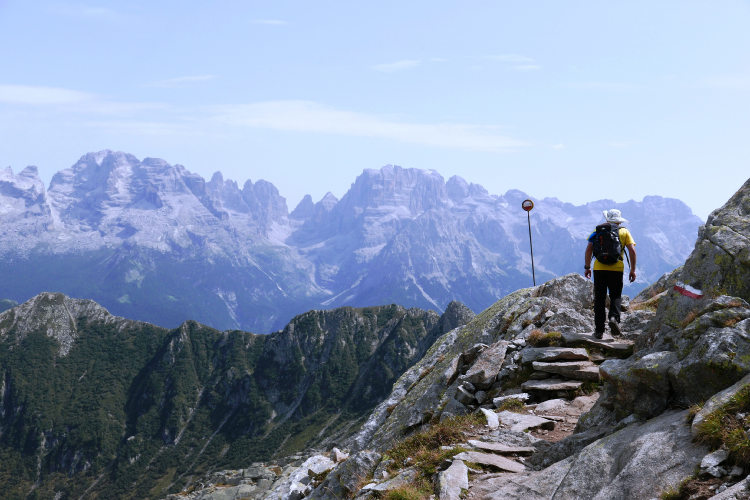
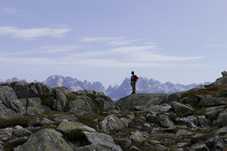
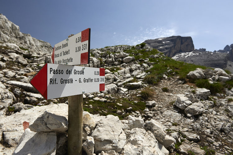
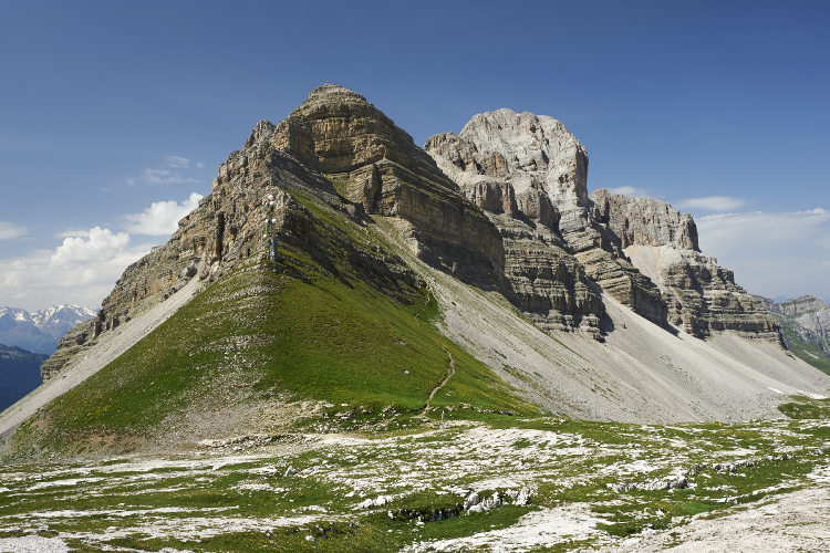
Day 5: Passo GrostèAscent 570 m. Descent 310 m. Altitude 2040 - 2440 m. Distance 8 km. Walking time 4 hours. The heartland of Brenta is famous for breathtaking landscapes and views. You will walk along a trail at the foot of Cima Groste toward the Passo Groste pass. Cima Grostè is the most impressive peak of the Brenta Dolomites, although not the highest. The trail runs on rocky terrain typical to the Dolomites at the altitude above 2300 meters. A walk to Passo Groste along the direct trail takes less than half a day and offers compelling views on the Presanella and Adamello mountain ranges to the west of Brenta. For those willing to explore more, we recommend a 2 hour side hike to Orti della Regina to see thousands of fossil mollusca - the residents of the Brenta Dolomites 230 mln years ago. Brenta is famous for its reddish rock which is rare in the other mountain groups in the Dolomites. Today, you will finish the walk at the Passo Groste passo and stay overnight at the foot of the Pietra Grande mountain - the Brenta’s most scenic red colored formation. Don’t miss the sunset! Sunsets are gorgeous at Passo Groste. They are one of the highlights of the Brenta trek. |
Day 6: Lake TovelAscent 70 m. Descent 1310 m. Altitude 1170 - 2440 m. Distance 15 km. Walking time 5 hours. This leg connects Passo Groste with Lake Tovel on a trail running through the meadows of Val Flavona, a large depression in the inner Brenta. Lake Tovel is definitely the major highlight of the day, but there is at least one more. The Turion tower standing on your route is another remarkable symbol of the Brenta Dolomites. It is a 160 meter high laminose formation which resembles a handmade tower or fortresses standing in the meadows. The hike to Lake Tovel features a significant intraday descent but is not fatiguing as the trail is good and not steep. Lake Tovel is notable from both landscape and wildlife perspectives. It is a great photo shooting spot - a chain of mountains reflecting on the surface of the lake creates a spectacular effect. Until 1964, the lake waters used to turn red every July thanks to the algae Tovelia Sanguinea. This algae no longer exists, but thanks to this unique phenomenon of the past the lake gained great popularity and is still known in Italy as the Red Lake. |
Day 7: Northern BrentaAscent 1190 m. Descent 390 m. Altitude 1170 - 2090 m. Distance 13 km. Walking time 6 hours. Morning views are fascinating at Lake Tovel. It is worth waking up early for a short walk to the northern tip of the lake to enjoy a great view of the sunlit mountain tops while the lake still remains in shadow and with a smooth surface reflecting the skyline. You will be hiking in the northern part of Brenta today. It is the least visited and most diverse area of the Brenta Dolomites. There are red rock mountains, green pastures and pine forests. You are unlikely to see other hikers more than just a couple of times today. Your destination is Monte Peller - a mountain in the extreme north of Brenta. One hour before you reach the hut, there is a farm known for producing excellent cheese and other dairy products by using the traditional alpine method. We recommend making a break at the farm and taste the local specialties before finishing your today’s hike at the hut. Walking the last mile to the hut, you can observe curious marmots in the meadows near the farm. |
Day 8: Monte PellerAscent 520 m. Descent 640 m. Altitude 1860 - 2320 m. Distance 15 km. Walking time 5 hours. Today you can start the day with an optional ascent to Monte Peller from the hut. The ascent is rather demanding however, because the trail runs to the top on an exposed slope, but the trail is secured. Monte Peller is an isolated mountain standing in complete solitude. It is famous for a 360-degree panorama covering the northern and central Brenta and the adjacent Ortler-Cevedale group. In alternative, there is an easier route option for the morning. There is Lake Salare two hours away from the hut. It is scenic and calm, and it is definitely worth visiting before descending to the valley. The lake is at the foot of the slope in green meadows with rare fur trees. It is very popular among landscape painters. The day ends with a short transfer back to your basecamp hotel in Val di Sole. |
Day 9: Departure from Val di SoleYour trek has come to an end. Your base camp hotel serves breakfast, and then you can depart Val di Sole. The Adamello-Brenta Nature Park is one of the best preserved parts of the Alps featuring an extraordinary diversity of landscapes and wildlife. The route you walked covers almost all areas of the nature park accessible with moderately difficult daytime treks. At MONT Trekking, we love to go hiking in Brenta. It is definitely among our favorite mountains. |
The shortest Brenta itinerary covering primarily the northern, wildest area of the group This itinerary starts near Madonna di Campiglio and goes directly into the northern part of the Brenta Dolomites via the Passo Groste pass. The northern Brenta is the wildest area of this mountain group. The itinerary requires 4 hiking days. It bypasses the Presanella range completely. The difficulty of this route option is Level 3, same as the complete itinerary. The base camp location is Val di Sole. |
The complete Brenta part of the classical itinerary The itinerary of the 7 Day Tour starts near Madonna di Campiglio. It covers the Brenta Dolomites in 5 hiking days, thus bypassing the Presanella range. With respect to the complete itinerary described in detail, your first walking day on this route is Day 4. This route option does not differ from the complete itinerary in terms of difficulty. Val di Sole remains the base camp location for this route option for a significantly more efficient connectivity by public transport. |
The normal itinerary except Central Brenta In 6 hiking days, you will explore almost the complete Adamello-Brenta itinerary with the exception of the central Brenta. You will start in the Presanella group on the main route, reach Madonna di Campiglio in 2 hiking days, and then head toward Passo Groste’, thus leaving the central part of Brenta aside. We recommend this route option if you would like to explore Adamello-Brenta as much as possible but do not have time for the complete itinerary. |
Guided group hike from Lake Tovel to Lake Molveno This route is designed for small groups. It connects the lakes Tovel and Molveno, crossing the Brenta Dolomites. It is a Level 3 itinerary for 6 hiking days. After a rest at the base camp in Val di Sole, you will meet your mountain guide and, together with the other members of the group, set off to Val di Tovel. The trip will begin with an acclimatization day at moderate altitudes between 800 and 1200 meters where you will hike to Lake Tovel. On the second day of the hike, the total ascent will be 1300 meters, but subsequent daytime hikes will be easier. The route between Tovel and Molveno takes you through the forest belt to alpine meadows and the rocky central part of Brenta with its bare rocks, impressive vertical walls and peaks of all shapes. You will cross Brenta at the Bocca di Brenta pass and then begin to descend towards Lake Molveno, where you will stay overnight before returning to the valley. |
Validity of prices: Summer 2026.
The prices are per person and include the VAT tax.
Private guided and self-guided treks are private tours on the dates of your choice.
The indicated tour duration includes the days of arrival and departure. Hotel accommodation on the day of arrival and night before departure is included in the price.
Self-guided tour. Supplement for trips for solo hikers:
6 Day Self Guided Tour | Solo supplement € 140
7 Day Self Guided Tour | Solo supplement € 140
8 Day Self Guided Tour | Solo supplement € 140
9 Day Self Guided Tour | Solo supplement € 140
Private guided tours are only open to your group. The price listed on the tour page is for groups of 4 members. You can set a larger or a smaller group – please contact us for a price.
The closest airport to the Brenta Dolomites region is Verona. It takes around 4 hours to arrive by train and bus from Verona airport to our base camp hotel in Val di Sole. Innsbruck is also a convenient airport for travel to Brenta Dolomites, but it is served by a smaller number of airlines.
Other possible airports are Venice, Bologna, Munich and Milan.
We can help you plan the route from the airport and provide you with train and bus schedules: please contact us before you book the flights.
Proper hiking boots are a must for the mountains. We recommend high boots because they support the ankle better than any low boots and provide better stability on a rocky terrain. Even in the middle of the summer in the Dolomites you must bring some warm clothes with you: waterproof and windproof jacket, fleece jacket, long trekking pants and a cap. A raincoat, poncho or other type of rainwear is necessary. Other necessary items are the toiletries, light clean footwear to use in the huts, sunglasses and at least 2 one-liter bottles for water. Your trip documents will include a detailed packing list specifically prepared for your itinerary. We kindly ask everyone to read it carefully and be properly prepared for the hiking trip.
The first and last nights of your trip are in one of our basecamp hotels. While hiking, you will stay overnight in the mountain huts. You can count on the following services in the mountain huts: a bed in a shared room or in a private room (must be booked in advance), shower with hot water, toilets, meals, and a possibility to buy take away water and snacks such as sandwiches and chocolate. Shared rooms are equipped with bunk beds with mattresses, pillows and blankets. Bed linen is not provided in shared bedrooms: you must have a sleeping bag liner with you. Typically, it is a light cotton bag. Warm sleeping bag is unnecessary, since there are blankets in the bedrooms. In private rooms you are often offered bed linen, thus a sleeping bag liner is not required. If you book private rooms, we inform you on whether you need to bring a sleeping bag liner. Most huts have a heating system, but it is normally not required in the summer months. You will need clean footwear for the huts: light slides are an ideal solution. For detailed information on the huts please read Mountain Huts in the Alps.
In hut-to-hut hiking tours you are served a breakfast and a dinner in the huts and mountain hotels on the route.
Normally, the breakfast is served from 7am to 9am. It usually includes an unlimited quantity of coffee and tea, bread, butter, jam, honey and chocolate spread. In addition, some huts offer ham, cheese and muesli for breakfast. After breakfast we recommend filling your thermos with hot water or tea: ask the staff, and it will be for free in most huts.
The dinner time in the mountain huts is 7pm or 7:30pm for all guests. A typical dinner in a hut is very rich and includes a starter, the first course (such as pasta, risotto, dumplings), the second course (meat with a side dish) and a dessert. Any drinks at dinner (water, wine, beer, tea, coffee) are not free and should be ordered and paid separately.
Lunch. It is possible to stop for lunch in the mountain huts on the way, but this option is not available in all days of the trip. In such days we recommend to take some light snack (sandwiches, yoghurt, chocolate, water) from the hut where you stay overnight. Mountain huts prepare for lunch the same dishes as for dinner. The cost of a typical hot dish, e.g. pasta or risotto, in a mountain hut varies from 7 to 12 euros.
Our guided hiking tours are led by professional guides, each with years of guiding and wilderness experience and with passion for mountains. They permanently work in the region of the exact hiking tour, have professional licenses, are experts in emergency situations, regularly upgrade their qualifications and work in accordance with national regulations.
For self-guided hiking, it is necessary to be properly dressed, follow the safety rules and make realistic time calculation for day crossings – preferably according to the hiking schedule that we provide. Our self-guided hiking trips are planned so that they do not require specific skills or gear, unless it is clearly specified in the tour description. You can expect well-maintained trails equipped with direction signs. Exposed sections of the trail are secured on the self-guided routes: it makes them safe provided that you follow the basic safety rules for hiking in the mountains.
Mountains are a natural environment with a high level of risk, so we insistently ask all participants to read the safety rules and emergency procedures: Safety Considerations. If you have questions about the safety rules, please contact us +39 0463 63 60 80.
Insurance. It is important to have an appropriate insurance that covers the hiking activity. You don't need to include the climbing activity in your insurance, unless you are planning to climb during the hike.
Visa. We will provide you with a booking confirmation for all days of your trip. If you need the Italian visa, you can enclose this document with your visa application.
The most stable weather conditions in the Dolomites are statistically from the second week of July till the middle of September. This period in the Dolomites is characterized by warm sunny weather and modest rainfall. Earlier in June, the weather is normally favorable, but it is less reliable, and the mountain passes may be blocked by snow remaining from the winter. In June we may have to change the route depending on the snow situation on the passes. The second half of September in Dolomites is a beautiful period, but the weather is again less predictable: the probability of incessant rain increases, and it may snow at the altitude above 2,000 meters.
It is never hot in the Dolomites at the elevation of 2,000 m (6,560 ft) and above where most of the hiking routes pass. In a sunny day in August the temperature at 2,000 m can reach 20° C (68° F) suring the warmest hours of the day. It is comfortable for hiking. In a cold cloudy day, the temperature can stay at around 10° C (34° F) during the entire the day. It is always chilly at night and early in the morning. Thunderstorms, often with hail, are typical for the warmest months (July and August). In the Dolomites valleys at the altitudes of 1,000 – 1,500 m (3,280 – 4,920 ft) the day temperature can reach 27° C (80° F). It is fresh in the valleys in the morning and evening, and it is not stuffy at night even in the hottest weeks of the summer.