







Home/Dolomites Hiking Tours/Brenta Dolomites
Enjoy solitude on more than 2/3 of the itinerary
Walk through a wide diversity of landscapes
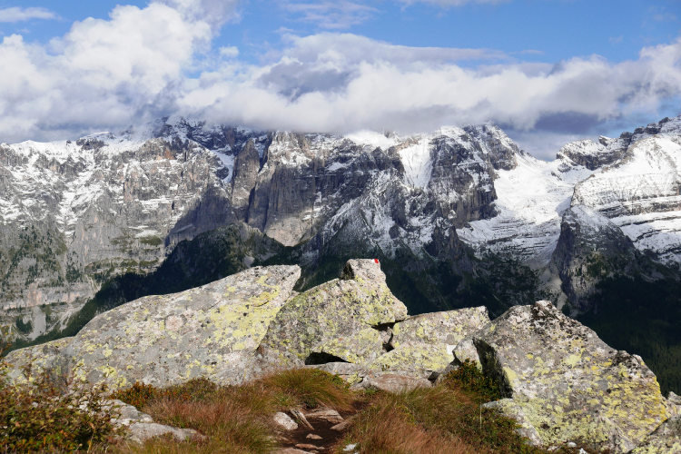
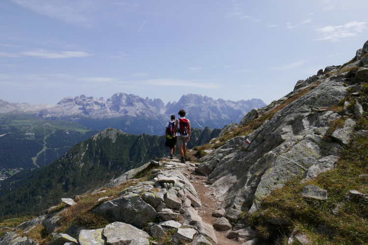
See the impressive panorama of Dolomiti di Brenta from the opposite slopes of Adamello
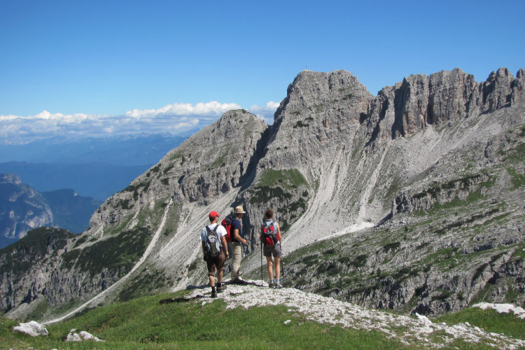
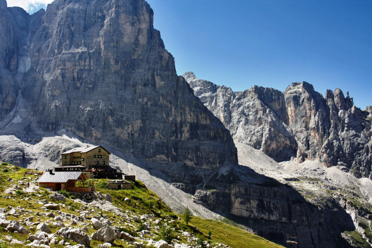
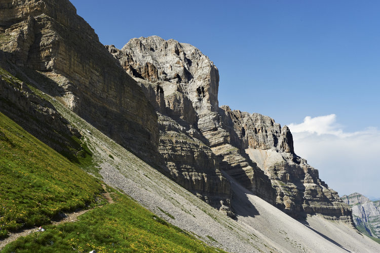
Explore the famous central Brenta with its majestic towers and vertical walls
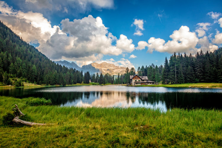
Take a break at the idyllic Lake Tovel hidden in the deep pine forest
Enjoy the charming sunsets over the glaciers of Adamello
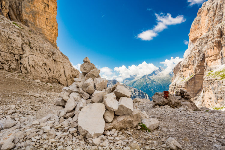
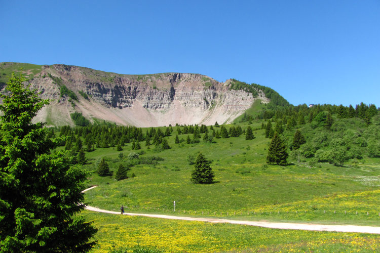
The Brenta Dolomites, known in Italy as Dolomiti di Brenta, is a gigantic freestanding mountain range with hiking itineraries that will take you through stunning landscapes and breathtaking scenery. Just like all ranges in the Dolomites, it formed in a prehistoric ocean around the time when the Permian period gave way to the Triassic. Yet standing apart from the rest of the Dolomite Alps, Brenta has a different mineral composition that lends a more saturated red hue to the dolomite rocks. Hence the unforgettable glow of the red pinnacles at sunset.
You will cross the central and most-visited part of the range before turning north toward Lake Tovel nestled at the bottom of a broad picture-perfect hollow fringed by fragrant pine woods. Apart from the striking landscapes, this lake was famous until the 1950s as a habitat for rare red algae that turned its waters blood-red during the blooming season. Depending on the itinerary you can choose to stay two nights at the lake what gives you a possibility to hike the exciting Eastern Ridge loop of Brenta. From Lago di Tovel the itinerary takes you into the northern extremity of Dolomiti di Brenta that features some of the least-traveled trails where you will see few if any other hikers on the last two days of the trip.
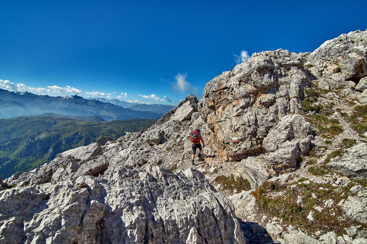
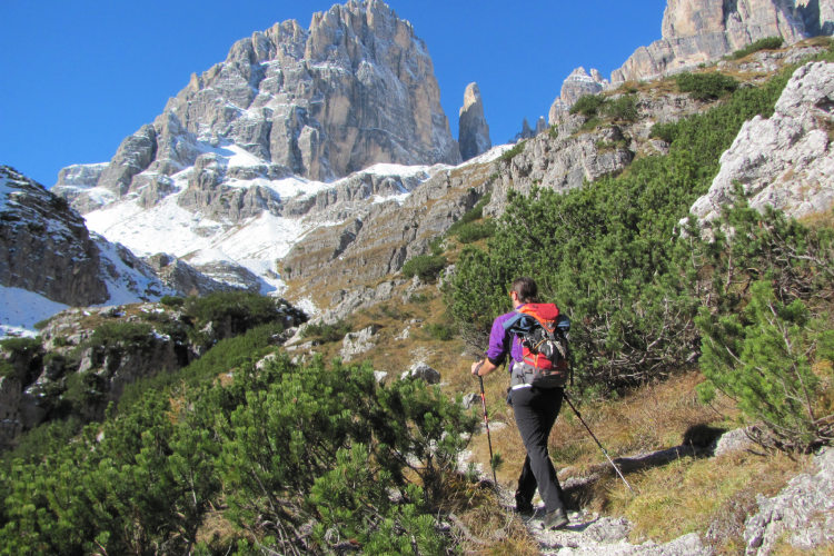
This is a hut to hut hiking trip – with overnights and boarding in mountain huts at the elevation 1,200 to 2,500 m. You can choose what is right for you – guided or self-guided hiking. This trip is categorized as Level 4 in terms of difficulty. Most of its day crossings correspond to Level 3, but some are Level 4. Several day crossings are with a significant change in elevation, however most daytime treks along the route are moderate in length. There is no via-ferrata on the route: this is a 100% hiking itinerary, but you will walk through several exposed sections of the trail which are secured for safety. You must be in a good physical shape for this trip and have prior hiking experience.
StyleHut to Hut Hiking
Tour Duration8 - 11 days / 7 - 10 nights
Start / FinishVal di Sole
Validity of prices: Summer 2026.
Private guided tour: the price is based on a minimum of 4 participants.
Private guided and self-guided tours are private tours on the dates of your choice.
See tab Prices for minimum and maximum group size, included services, single supplements and other details.
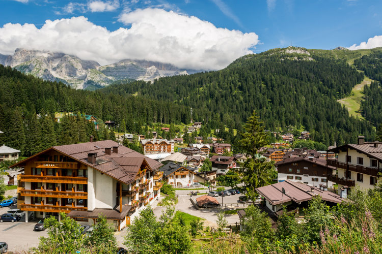
Day 1: Val di SoleYou arrive in Val di Sole and check in at the basecamp hotel in the town of Malé. Nestled in a valley between the Ortler-Cevedale and Dolomiti di Brenta mountain ranges, this town is a convenient starting point for many of our guided and self-guided hikes in the region. |
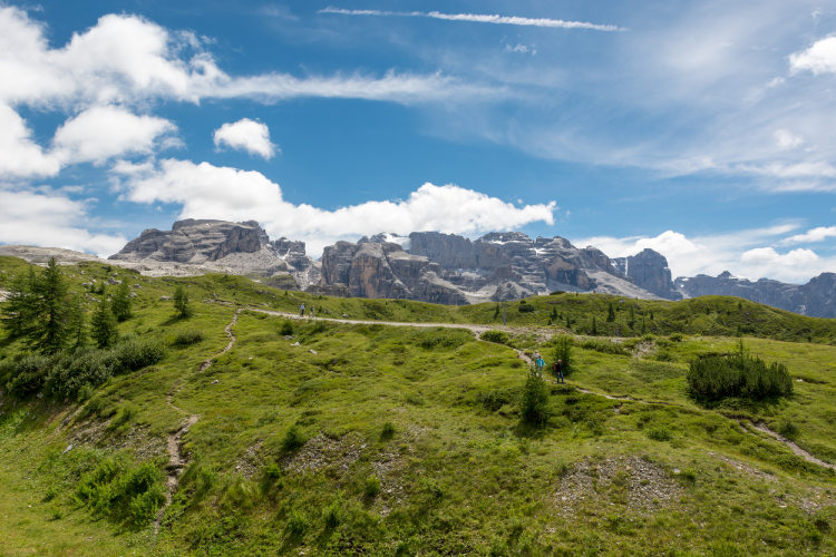
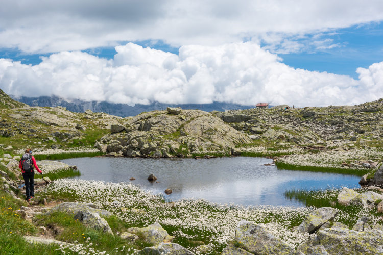
Day 2: The Three LakesAscent 480 m. Descent 750 m. Altitude 1770 - 2290 m. Distance 12 km. Walking time 5 hours. You start walking at an elevation of around 2,000 m that you quickly reach with a cablecar from the valley. Today you will hike through Presanella – a mountain group standing next to Dolomiti di Brenta. The trail runs on the eastern slopes of Presanella and offers a broad panorama of the entire Dolomiti di Brenta. There are many lakes in this area, both in the forest belt and at high altitude. You will reach several of them including the Three Lakes which is one of the most beautiful landmarks of this region. This is a group of lakes at 2,300 m of altitude on an exposed slope facing Dolomiti di Brenta. The Three Lakes offer excellent shooting points for photography enthusiasts. You will finish your today’s trek at a hut also located at a lake with an impressive view of Dolomiti di Brenta: do not miss the sunset. |
Day 3: Presanella GroupAscent 660 m. Descent 910 m. Altitude 1460 - 2410 m. Distance 13 km. Walking time 6 hours. Today you cross the high-altitude regions of the Presanella group and reach Madonna di Campiglio at the foot of Dolomiti di Brenta. The trail runs through pine forests before it takes you to the exposed slopes with panoramic views of Brenta. This region is rich with water: you will be frequently crossing streams while the trail leads you from one lake to another. Breathtaking views from the lakes to Dolomiti di Brenta are the major highlight of these mountains and of this hiking day. Towards the end of the day you descend to Madonna di Campiglio – a five-star alpine resort and the gateway into the Brenta Dolomites. |
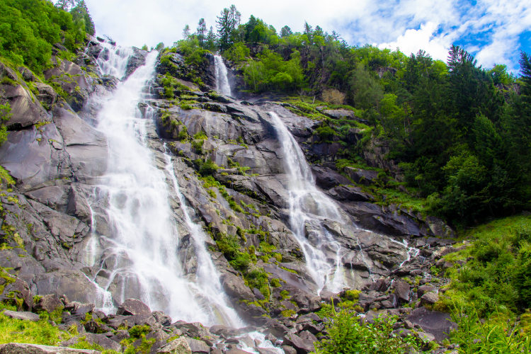
Day 4: Vallesinella WaterfallsAscent 1130 m. Descent 390 m. Altitude 1510 - 2270 m. Distance 13 km. Walking time 6 hours. To gradually ease into the rhythm of the trip, today you proceed along a very moderately paced itinerary through gorges of Vallesinella Valley, which is famous for its cascading waterfalls. Vallesinella gorges are overgrown by a dense mixed forest that conceals hundreds of wellsprings. The springs feed the mountain streams cascading down the slopes. Here waterfalls gush down from gorge escarpments and rivulets combine into churning streams which we will cross via suspended bridges. The gorges radiate a freshness and a pleasant chill even on the hottest of days. Some distance uphill from the waterfalls the forest belt ends, and the trail enters the high-altitude area near the Passo Groste pass. Winding its way under the precipitous cliffs of the central mountain group, the trail reaches a mountain hut with a breathtaking panorama of the Adamello group in the west. |
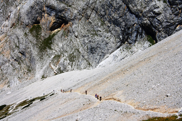
Day 5: Heartland of Dolomiti di BrentaAscent 800 m. Descent 1600 m. Altitude 1430 - 2550 m. Distance 13 km. Walking time 6 hours. The vast highland region at the center of the Brenta Dolomites can be crossed from west to east at one point only – through the Bocca di Brenta pass. Today you will make your way to this pass and go deep into the very center of the Brenta Dolomites. It features a unique landscape with multiple tower-like mountains separated by precipices that are hundreds of meters deep. You will cross it by the only possible trekking trail, skirting gigantic protrusions with vertical cliffs and noisy flocks of Alpine coughs soaring up above. By midday you arrive at the hut near the pass and can have lunch. If you can muster enough strength, you have a possibility to go on an optional loop hike before descending to your destination hut for the night. There is an easy secured panoramic trail that lets you see the eastern extremity of the Brenta Dolomites and possibly also the emerald-green Lake Molveno at the foot of the slopes. |
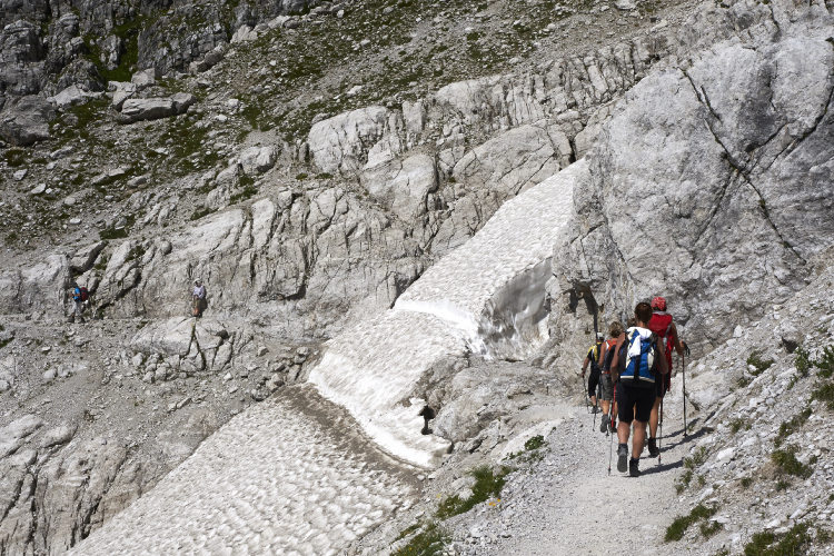
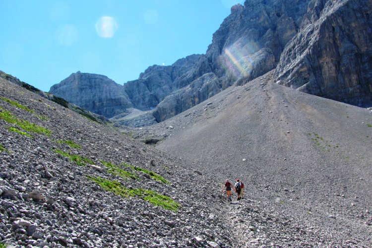
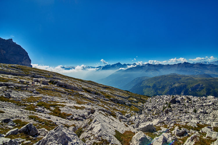
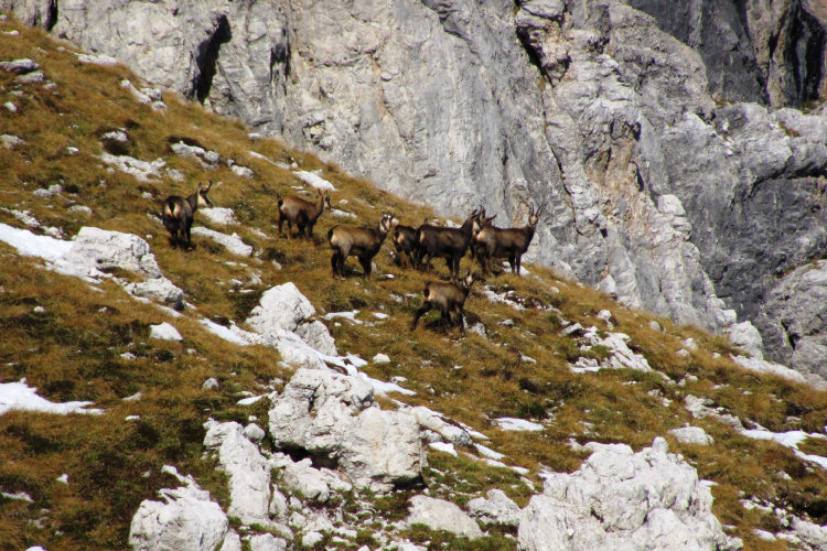
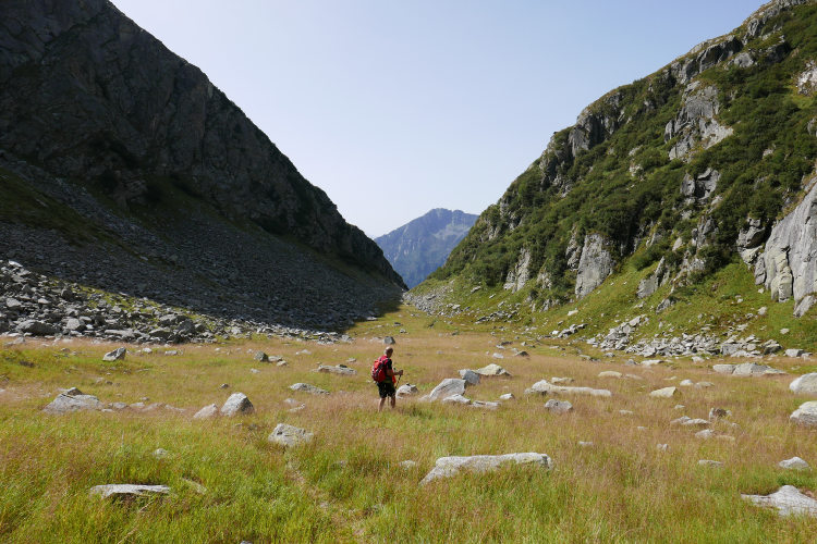
Day 6: Monte Turion and Passo GrosteAscent 1360 m. Descent 550 m. Altitude 1430 - 2440 m. Distance 11 km. Walking time 6 hours. Today's trek will take you through many exciting places, but it is also the most difficult one in the itinerary. You begin the day by scaling a 600 m high steep ascent to reach a least-traveled wild highland near the peak of Piz Galin. There are never many hikers around here, and you are almost sure to see chamois promenading over the faces of screes and steep rocks near the passes. The trail runs through several different landscapes. As the day progresses, the trail descends from the lifeless heights into a flat green hollow, which, several hundred years ago, used to contain the waters of a lake. Today's other landmarks include mountain lakes and the remarkable Turion Towers. "Grown" on top of a relatively level plateau, these laminose formations resemble towers or even whole fortresses. The long and eventful day ends some distance to the west from the Passo Groste pass. Do not miss this evening's sunset that will cast a bright red light on the pass and the nearby peaks. |
Day 7: Lake TovelAscent 650 m. Descent 1880 m. Altitude 1170 - 2440 m. Distance 12 km. Walking time 6 hours. Today you have a relatively easy trek to Lake Tovel with several route options to choose from. The main one skirts a massive group of peaks known as the Pietra Grande around its western flank and descends to Lake Tovel. The trek description gives figures for exactly this route option; the other ones are lighter. Under the western wall of the Pietra Grande the trail runs past fallen rocks with plenty of exotic fossil mollusca embedded in it. Fossils are not rare in the mountains, but they do not come often in such numbers. Already from the exposed slopes above the green belt you will see the turquoise surface of Lake Tovel lying 1,000 meters below in an enormous hollow fringed by pine woods. Lake Tovel gained fame thanks to a unique phenomenon: until the 1950s the lake waters would turn blood-red during the warmest period of the summer. It was caused by lake algae that colored the waters red during the blooming season. A light stroll around the lake at dusk is the best imaginable finale to the day's hike. |
Day 8: Northern BrentaAscent 1110 m. Descent 350 m. Altitude 1170 - 2090 m. Distance 12 km. Walking time 5 hours. To spend the night at Lake Tovel without watching the sunrise would be a major loss. It's worth getting up at the crack of dawn today to see a spellbinding landscape of the reddish mountaintops of the Brenta Dolomites above Lake Tovel basking in the rays of a rising sun. The hikers who can muster the strength to get up at first light will be rewarded with unforgettable impressions and take home some magnificent photos to remember them by. The hike continues as you head into the seldom-hiked northern Brenta via wild trails amid untouched nature. Today has in store for you some magnificent panoramas opening up from the tops of ridges, red-colored slopes under mountain passes, peaceful green meadows, and a colony of woodchucks at the foot of Monte Peller. |
Day 9: Monte PellerAscent 980 m. Descent 1610 m. Altitude 1210 - 2510 m. Distance 15 km. Walking time 7 hours. Monte Peller towers above highland meadows of northern Brenta in complete solitude. It is known as an “observation deck” offering a 360-degree panorama of the northern portion of the Brenta Dolomites. Unlike mountains in the central part of the range, Monte Peller is a fairly low, sloping and green mountain overgrown with grass. It offers excellent visibility in the morning hours. Having scaled Monte Peller right after breakfast, you will be able to see the peaks of Dolomiti di Brenta in detail. After descending from Monte Peller, you arrive to Lake Salare. This lake is nestled in a scenic warm hollow at the foot of the ridge. It is surrounded by green meadows with Alpine highland flowers and rare pine trees standing apart in isolation. Today once again you hike the little-visited trails of the Northern Brenta. As you continue hiking you may follow the trail's branches to some of its peaks – good vantage points to observe the white summits of the Ortler group and the Adamello glaciers. The trek ends with a lengthy descent down the western flanks of the range to the village of Folgarida, from where a transfer will take you back your basecamp hotel. |
Day 10: Val di SoleThe trip has come to an end. You followed the full hiking itinerary through Dolomiti di Brenta and saw not just the most-visited summits, mountain passes and gorges of this magnificent range, but also made it as far as northern Brenta with its seldom-hiked trails crossing highland meadows and passes lost deep amid the mountains. You had a chance to admire the sunrise from Lake Tovel of indescribable beauty, and scaled Monte Peller – a 2,319-meter mountain peak popularly known as the “observation deck” of the Brenta Dolomites. |
Shorter version of the main route with a start in Madonna di Campiglio The 8 Day Tour, both guided and self-guided, does not include the first two hiking days of the primary itinerary. It starts in Madonna di Campiglio and then follows the primary itinerary. This is a shorter version of the primary itinerary but with the same characteristics in terms of difficulty. The gear and experience requirements are the same as for the main route. The base camp hotel remains in Val di Sole since it is much better connected by public transport. |
Fast crossing of Presanella and the complete Brenta route On the 9 Day Tour, we planned a one-day crossing of the Presanella group instead of two days on the main route. You will start hiking in Presanella at 2,000 meters and reach the Three Lakes. At the lakes, you can decide whether to descend to Madonna di Campiglio directly or to hike along the panoramic trail to the lakes of Serodoli and Lambin, both of which offer wonderful views of the Brenta Dolomites. If you choose the longer route, we recommend taking the ski lift down to Madonna di Campiglio, otherwise your day will be too long and tiring. |
The main route extended with the Eastern Ridge Loop Hike and an extra night at Lake Tovel In the 11 Day Tour, both guided and self-guided, you stay an additional night at Lake Tovel. This allows for a one-day loop hike to a totally peopleless part of the Dolomiti di Brenta in the eastern extremity of the group. It is a lengthy hike with a substantial total altitude gain. And yet it is not too difficult: the ascent consists of two separate climbs of 650 and 500 meters; plus you hike light, all the heavy stuff is waiting for you at the lakeside hut. The eastern part of the Dolomiti di Brenta is dominated by two parallel ranges. Trails are quite few around here. Many old trails that might be of use are no longer maintained. The inner range – the taller of the two – is a typical high-altitude formation with minimum vegetation. The outer range is lower; its flanks are thickly covered with creeping pine overgrowth – the balmy pine scent filling the air in the afternoon when the temperature drops. Both ranges offer wide panoramas of the mountains lying far in the east; in the morning Lake Tovel comes into view from the top trail. Ascent 1490 m, descent 1490 m, hiking distance 17 km, hiking time 8 hours. In alternative, some of our guests prefer a rest day at Lake Tovel. There is an easy walk from the hut along a nature trail in the neighborhood of the lake. This variant lets you come back to the hut for lunch and then to relax at the lake in the afternoon. |
Validity of prices: Summer 2026.
The prices are per person and include the VAT tax.
Private guided and self-guided treks are private tours on the dates of your choice.
The indicated tour duration includes the days of arrival and departure. Hotel accommodation on the day of arrival and night before departure is included in the price.
Self-guided tour. Supplement for trips for solo hikers:
8 Day Self Guided Tour | Solo supplement € 140
9 Day Self Guided Tour | Solo supplement € 140
10 Day Self Guided Tour | Solo supplement € 140
11 Day Self Guided Tour | Solo supplement € 140
Private guided tours are only open to your group. The price listed on the tour page is for groups of 4 members. You can set a larger or a smaller group – please contact us for a price.
The closest airport to the Brenta Dolomites region is Verona. It takes around 4 hours to arrive by train and bus from Verona airport to our base camp hotel in Val di Sole. Innsbruck is also a convenient airport for travel to Brenta Dolomites, but it is served by a smaller number of airlines.
Other possible airports are Venice, Bologna, Munich and Milan.
We can help you plan the route from the airport and provide you with train and bus schedules: please contact us before you book the flights.
Proper hiking boots are a must for the mountains. We recommend high boots because they support the ankle better than any low boots and provide better stability on a rocky terrain. Even in the middle of the summer in the Dolomites you must bring some warm clothes with you: waterproof and windproof jacket, fleece jacket, long trekking pants and a cap. A raincoat, poncho or other type of rainwear is necessary. Other necessary items are the toiletries, light clean footwear to use in the huts, sunglasses and at least 2 one-liter bottles for water. Your trip documents will include a detailed packing list specifically prepared for your itinerary. We kindly ask everyone to read it carefully and be properly prepared for the hiking trip.
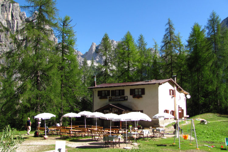
The first and last nights of your trip are in one of our basecamp hotels. While hiking, you will stay overnight in the mountain huts. You can count on the following services in the mountain huts: a bed in a shared room or in a private room (must be booked in advance), shower with hot water, toilets, meals, and a possibility to buy take away water and snacks such as sandwiches and chocolate. Shared rooms are equipped with bunk beds with mattresses, pillows and blankets. Bed linen is not provided in shared bedrooms: you must have a sleeping bag liner with you. Typically, it is a light cotton bag. Warm sleeping bag is unnecessary, since there are blankets in the bedrooms. In private rooms you are often offered bed linen, thus a sleeping bag liner is not required. If you book private rooms, we inform you on whether you need to bring a sleeping bag liner. Most huts have a heating system, but it is normally not required in the summer months. You will need clean footwear for the huts: light slides are an ideal solution. For detailed information on the huts please read Mountain Huts in the Alps.
In hut-to-hut hiking tours you are served a breakfast and a dinner in the huts and mountain hotels on the route.
Normally, the breakfast is served from 7am to 9am. It usually includes an unlimited quantity of coffee and tea, bread, butter, jam, honey and chocolate spread. In addition, some huts offer ham, cheese and muesli for breakfast. After breakfast we recommend filling your thermos with hot water or tea: ask the staff, and it will be for free in most huts.
The dinner time in the mountain huts is 7pm or 7:30pm for all guests. A typical dinner in a hut is very rich and includes a starter, the first course (such as pasta, risotto, dumplings), the second course (meat with a side dish) and a dessert. Any drinks at dinner (water, wine, beer, tea, coffee) are not free and should be ordered and paid separately.
Lunch. It is possible to stop for lunch in the mountain huts on the way, but this option is not available in all days of the trip. In such days we recommend to take some light snack (sandwiches, yoghurt, chocolate, water) from the hut where you stay overnight. Mountain huts prepare for lunch the same dishes as for dinner. The cost of a typical hot dish, e.g. pasta or risotto, in a mountain hut varies from 7 to 12 euros.
Our guided hiking tours are led by professional guides, each with years of guiding and wilderness experience and with passion for mountains. They permanently work in the region of the exact hiking tour, have professional licenses, are experts in emergency situations, regularly upgrade their qualifications and work in accordance with national regulations.
For self-guided hiking, it is necessary to be properly dressed, follow the safety rules and make realistic time calculation for day crossings – preferably according to the hiking schedule that we provide. Our self-guided hiking trips are planned so that they do not require specific skills or gear, unless it is clearly specified in the tour description. You can expect well-maintained trails equipped with direction signs. Exposed sections of the trail are secured on the self-guided routes: it makes them safe provided that you follow the basic safety rules for hiking in the mountains.
Mountains are a natural environment with a high level of risk, so we insistently ask all participants to read the safety rules and emergency procedures: Safety Considerations. If you have questions about the safety rules, please contact us +39 0463 63 60 80.
Insurance. It is important to have an appropriate insurance that covers the hiking activity. You don't need to include the climbing activity in your insurance, unless you are planning to climb during the hike.
Visa. We will provide you with a booking confirmation for all days of your trip. If you need the Italian visa, you can enclose this document with your visa application.
The most stable weather conditions in the Dolomites are statistically from the second week of July till the middle of September. This period in the Dolomites is characterized by warm sunny weather and modest rainfall. Earlier in June, the weather is normally favorable, but it is less reliable, and the mountain passes may be blocked by snow remaining from the winter. In June we may have to change the route depending on the snow situation on the passes. The second half of September in Dolomites is a beautiful period, but the weather is again less predictable: the probability of incessant rain increases, and it may snow at the altitude above 2,000 meters.
It is never hot in the Dolomites at the elevation of 2,000 m (6,560 ft) and above where most of the hiking routes pass. In a sunny day in August the temperature at 2,000 m can reach 20° C (68° F) suring the warmest hours of the day. It is comfortable for hiking. In a cold cloudy day, the temperature can stay at around 10° C (34° F) during the entire the day. It is always chilly at night and early in the morning. Thunderstorms, often with hail, are typical for the warmest months (July and August). In the Dolomites valleys at the altitudes of 1,000 – 1,500 m (3,280 – 4,920 ft) the day temperature can reach 27° C (80° F). It is fresh in the valleys in the morning and evening, and it is not stuffy at night even in the hottest weeks of the summer.