






Home/Dolomites Hiking Tours/Alta Via 2 Dolomites
No route in the Dolomites compares to Alta Via 2 in terms of diversity of the landscapes
Enjoy the comfort of the huts that are among the best in the Dolomites
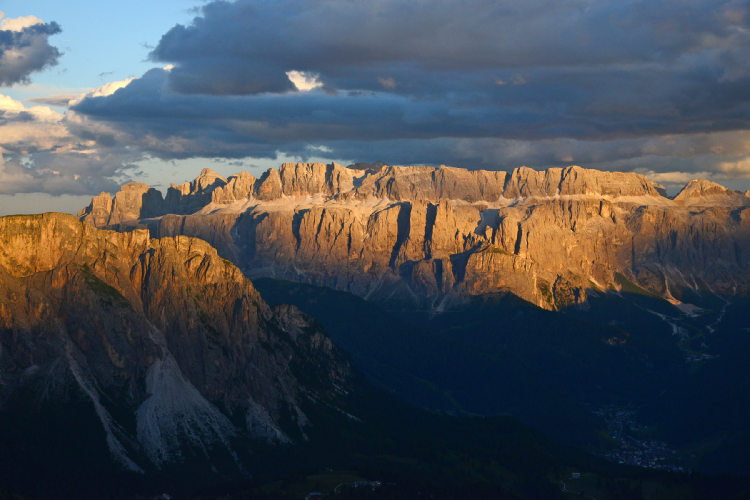
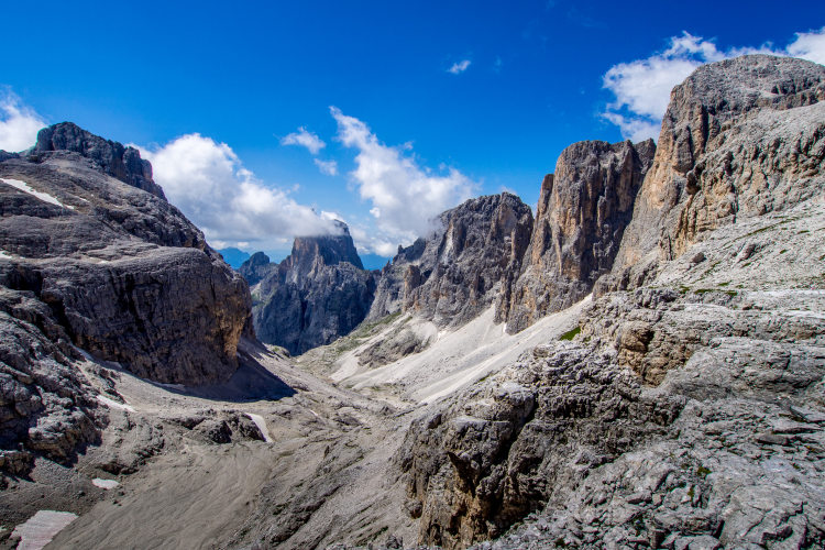
Admire the impressive out-of-this world lunar landscapes of Sella and Pale di San Martino
Choose your starting point between Brixen and Val Gardena and the length of your route
Have your route planned by local experts to avoid walking along the roads and unexpected via-ferrata
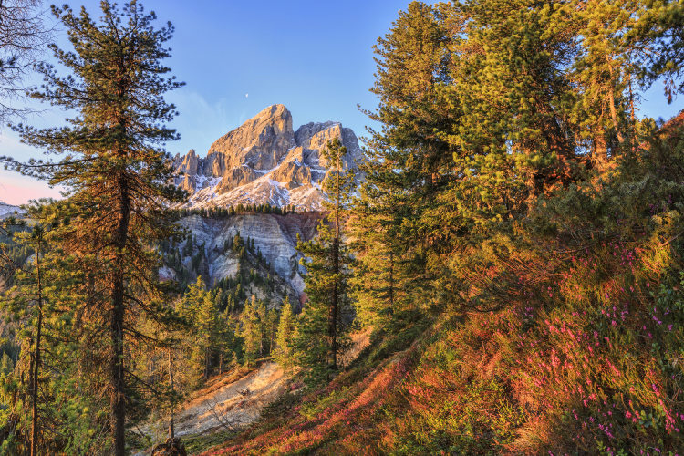
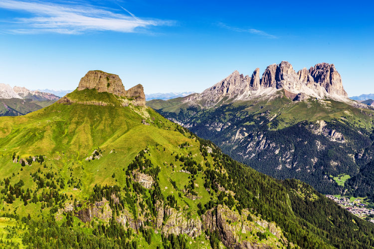
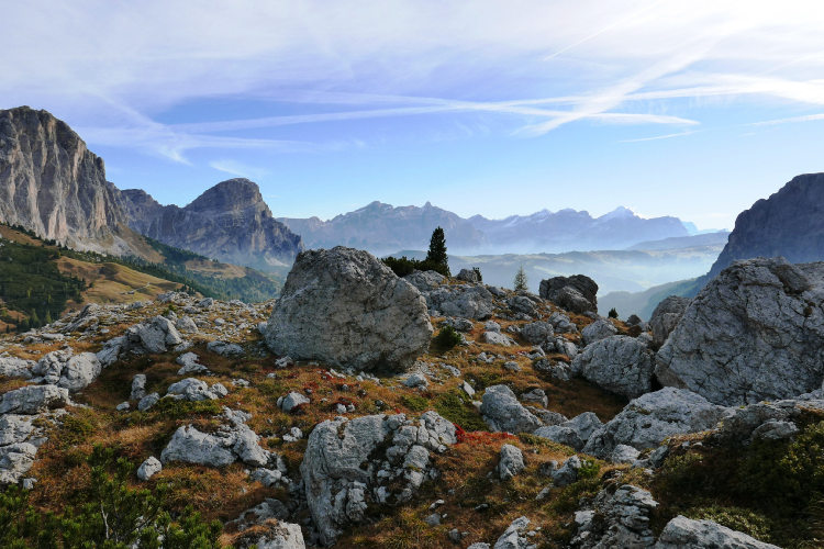
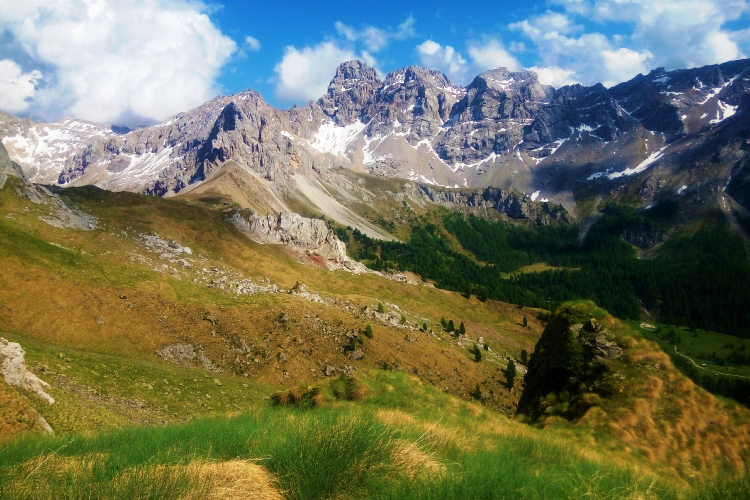
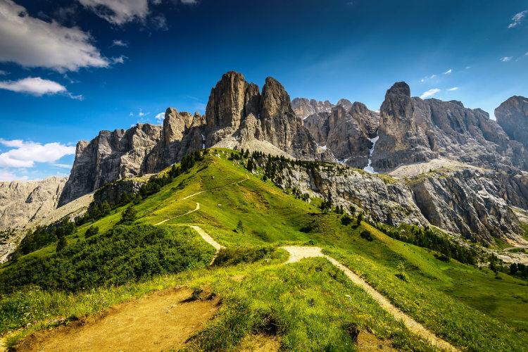
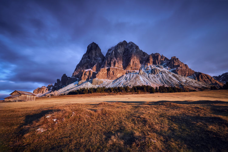
Alta Via 2 links the largest mountain groups of the Dolomite Alps and is the longest route of the Alta Via treks. Alta Via 2 will take you through unique lunar landscapes of the Sella and Pale di San Martino groups. You will photograph the towering peaks of the Puez-Odle group, go past the Marmolada group with the only surviving major glacier of the Dolomites on its northern slope, and enjoy countless other stunning landscapes. The Alta Via 2 itinerary stands to gain from traversing these landmark mountain groups: on your trek you will be accompanied by vast panoramas of the Dolomite Alps, and you will spend the night in exceptionally beautiful locales.
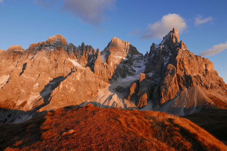
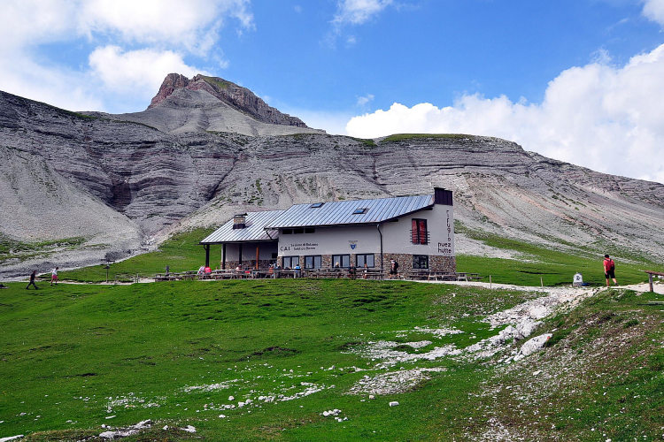
Alta Via 2 is renowned for its rich diversity of landscapes and vistas, owing in part to its length. This trek will successively take you from one mountain group to another. You will regularly ascend to remote high mountain regions and descend to the Alpine meadow belt. That’s why you will first spot the next mountain group from afar and then approach and cross it. You will be overnighting at manned mountain huts mostly in the high-altitude region but occasionally also on approaches to mountain groups in the meadow belt. Right before crossing Pale di San Martino, you will spend the night at the Passo Rolle pass famous for its unmatched sunset vistas when the sun turns the endless chain of peaks of the Pala Group fiery orange.
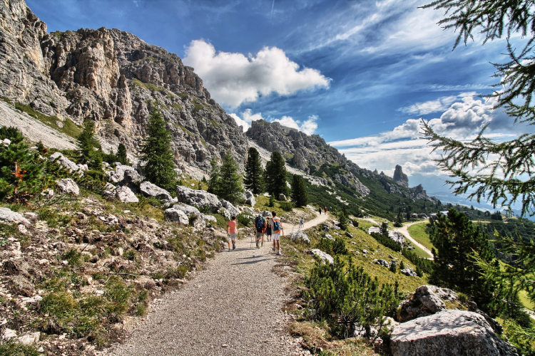
You can begin your hike from Brixen, which would put you on the historical route, or from Val Gardena. We can customize this adventure to your preferences: you can be accompanied by a local mountain guide or go on a self-guided trek by following the itinerary and hiking schedule prepared by us. The complexity level of this trek is above average: the route includes relatively long treks between mountain huts, trails on demanding terrain and sections of secured trail.
You can choose from several route options varying primarily in duration from 6 to 10 hiking days. The itinerary, in any case, bypasses via ferratas and is rather limited to short and simple sections of secured trail. For safety, you need to have appropriate gear on Alta Via 2 regardless of the route option you choose: a harness, a ferrata set (two connected energy-absorbing lanyards with two carabiners) and a helmet.
StyleHut to Hut Hiking
Tour Duration8 - 12 days / 7 - 11 nights
Start / FinishBrixen or Val Gardena / Fiera di Primero
Validity of prices: Summer 2026.
Private guided tour: the price is based on a minimum of 4 participants.
Private guided and self-guided tours are private tours on the dates of your choice.
See tab Prices for minimum and maximum group size, included services, single supplements and other details.
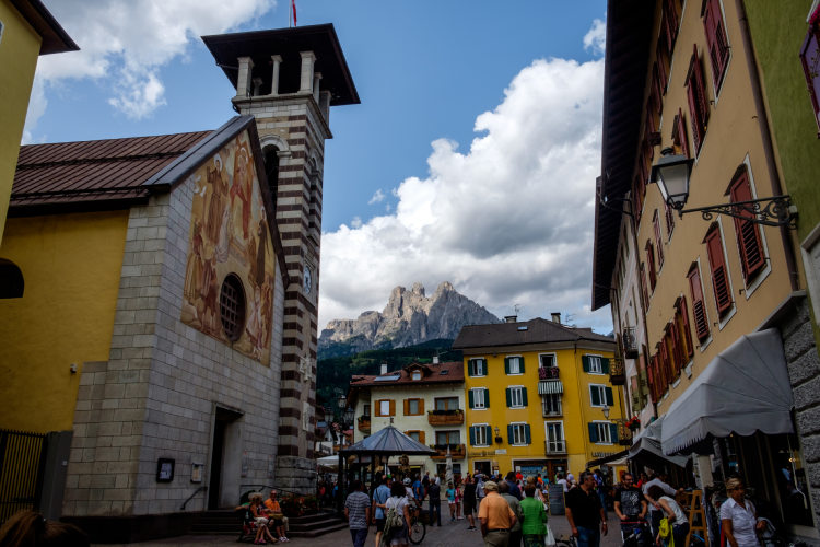
Day 1: Arrival in Val GardenaYou will arrive in Val Gardena, check in at the base camp hotel, and rest up. One of the Ladinian valleys with a clearly distinct identity, Val Gardena is the gateway to the Dolomite Alps. Nestled among magnificent mountains, the valley comes up against the Sella group, guaranteeing breathtaking vistas of the Dolomites already on the day of your arrival. If you have booked a self-guided hike, you will receive a package of materials for the trek, including a map, itinerary and step-by-step hiking schedule, and other relevant paperwork during hotel check-in. |
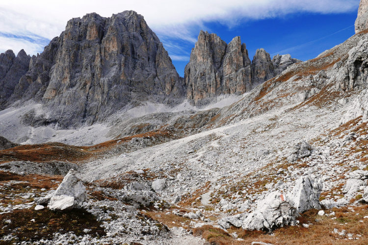
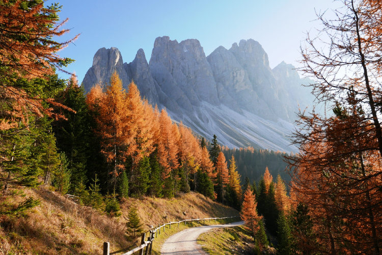
Day 2: Puez-Odle GroupAscent 1240 m. Descent 200 m. Altitude 1500 - 2660 m. Distance 12 km. Walking time 6 hours. The hike begins with the crossing of the Puez-Odle group. The Seceda peaks are landmarks of Puez-Odle and a magnet for thousands of shutterbugs. You will reach the peaks via a scenic trail that traverses a gentle slope with a sheer drop-off on the north side. This makes the peaks seem visually taller and affords for some picture-perfect views. The only downside of this part of the route are the hordes of tourists arriving by chairlift from the valley. That’s why we have mapped an alternative itinerary for this leg of the hike. It will take you through a less traveled part of Puez-Odle with idyllic views of the main ridge of this mountain group against the backdrop of a dry channel of a mountain stream filled with boulders, its banks overgrown with creeping pines. This trail also offers a beautiful angle on the Sella group that you will be approaching the following day. |
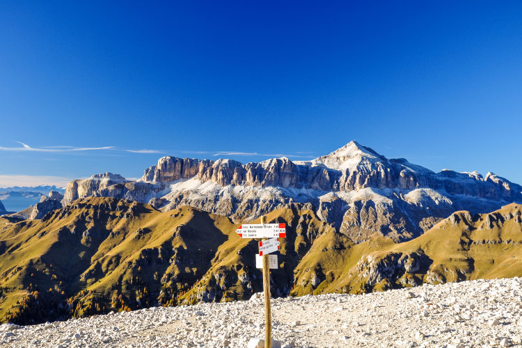
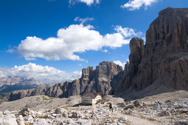
Day 3: Sella GroupAscent 1260 m. Descent 880 m. Altitude 2120 - 2910 m. Distance 13 km. Walking time 7 hours. Today’s itinerary will take you through the Sella group. It is the most recognizable mountain group in the Dolomite Alps owing to its unique shapes. Ever since it formed in the ocean 250 million years ago, Sella has retained a perfectly correct shape of a coral island. Two itinerary options are available for this leg of Alta Via 2. The classical Alta Via 2 itinerary crosses Sella in the high-altitude region and is suitable for hikers undaunted by a trail snaking through steep rocks with rungs and metal rope support. If you choose this route, on this day you will reach the central region of the Sella group where you will be overnighting at a mountain hut. The alternative itinerary is less complicated as it bypasses the more challenging parts of Alta Via 2, taking you along a trail at the foot of steep cliffs of Sella. This itinerary ascends into the high-altitude region at the eastern tip of the group. You will spend the night at a mountain hut offering a magnificent panoramic view of the neighboring Dolomite ranges. |
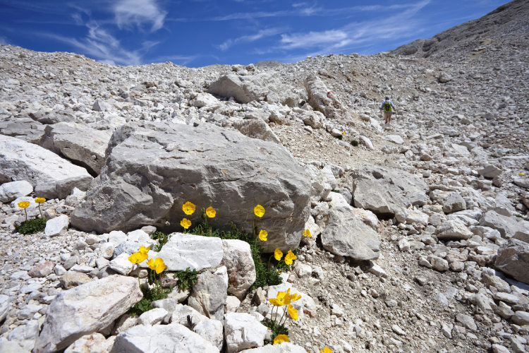
Day 4: Ancient Merchant's PathAscent 500 m. Descent 1310 m. Altitude 2050 - 3110 m. Distance 13 km. Walking time 6 hours. Starting off in the high-altitude region of the Sella group, today’s itinerary will bring you to the Marmolada group, ending at Fedaia Lake at its foot. The trail across Sella takes you through its rocky area with a moonlike landscape this group is known for. The trek from the Sella group to Fedaia Lake opens up spine-tingling views of the Marmolada group and the glacier on its northern slope. The trail runs along the slope that directly faces Marmolada, giving you a full view of the glacier. Marmolada is the highest mountain group in the Dolomite Alps, and the glacier on its slope is the only one to have survived in the Dolomites. The glacier feeds Fedaia Lake that sits at a mountain pass of the same name, and you will be overnighting on its shore today. |
Day 5: At the Foot of MarmoladaAscent 520 m. Descent 1190 m. Altitude 1490 - 2510 m. Distance 14 km. Walking time 6 hours. Marmolada lies ahead on your itinerary. Only rock climbers cross Marmolada in a straight line. This involves scaling the glacier and going down a via ferrata. Two itinerary routes are available for trekking in the Marmolada area. The historical Alta Via 2 itinerary bypasses Marmolada on the east. This trail was truly exciting in the 1960s-70s, while nowadays it follows an asphalt-paved road for the most part. That’s why the western hiking route is now considered the primary choice, although either option is possible and you will receive hiking schedules for both. The trail running along the western itinerary offers stunning views of the Sella group from the hollow of Ciampac, which will most definitely whet the photographer’s appetite. The eastern route skirts the kilometer-long southern cliff of Marmolada at its foot. |
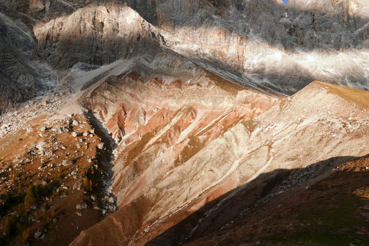
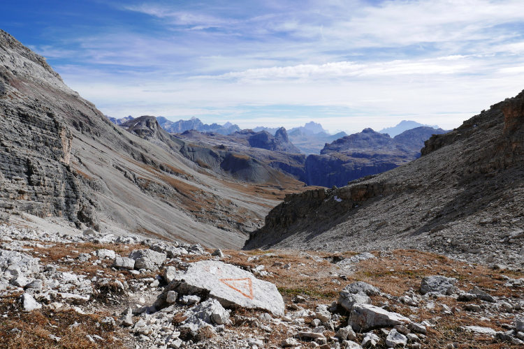
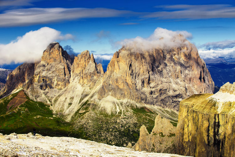
Day 6: Monzoni GroupAscent 680 m. Descent 790 m. Altitude 1920 - 2680 m. Distance 10 km. Walking time 5 hours. Today Alta Via 2 takes you through the Monzoni group and crosses its main ridge. It is one of the most seldom-traveled parts of the itinerary. The majority of Monzoni trails are relatively complicated, which is why the local denizens, Alpine ibexes, are seldom disturbed by people and are not fearful of approaching the trails. The Cirelle Pass will be the highest point of today’s trek. As you go up the slope to the mountain pass, the Sassolungo group comes into view. Located to the side of Alta Via 2, it presents itself from a quite opportune angle, resembling an enormous fairy-tail castle. Crossing the Cirelle Pass is almost a walk in the park when the approaches to it are clear of snow, but it will require quite a bit of effort at the start of the season, especially after snowy winters. From the mountain pass the trail charmingly snakes down the talus slope into the Alpine meadow belt and takes you to a mountain hut at the San Pellegrino mountain pass. |
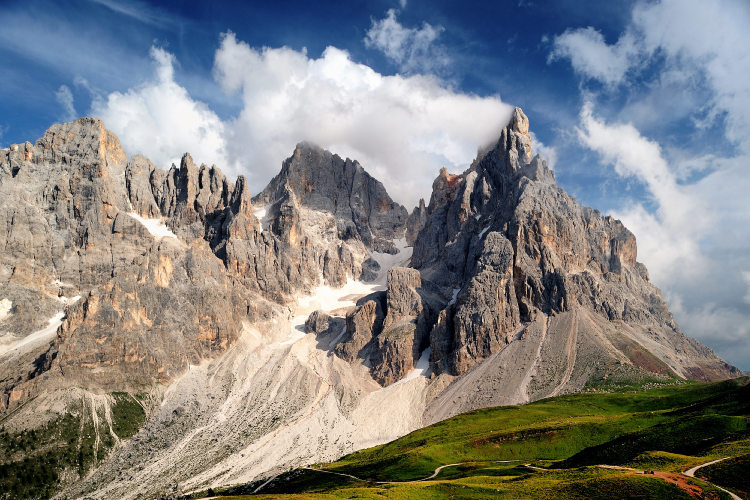
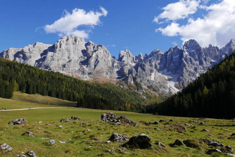
Day 7: Passo RolleAscent 850 m. Descent 700 m. Altitude 1880 - 2310 m. Distance 15 km. Walking time 6 hours. From the San Pellegrino Pass, the Alta Via 2 itinerary takes you to Pale di San Martino, or the Pala group, visible from higher elevations already today. This mountain group is so large that it blocks out the entire horizon to the south of the route. Some of the most beautiful and memorable locations on today’s itinerary are the little-known valley Val Venegia and the Passo Rolle pass. Val Venegia is especially stunning in the latter half of the day when the sun shines on the northwestern slopes of Pale di San Martino. The Passo Rolle pass, where today’s trek ends, sits in a vast region of Alpine meadows. There are several elevated points opportunely positioned in front of the chain of Pale di San Martino peaks. They make great vantage points for watching the sundown, camera in hand. Passo Rolle is famous for affording the view of the Cimon della Pala peak – one of the key landmarks of the Dolomite Mountains. |
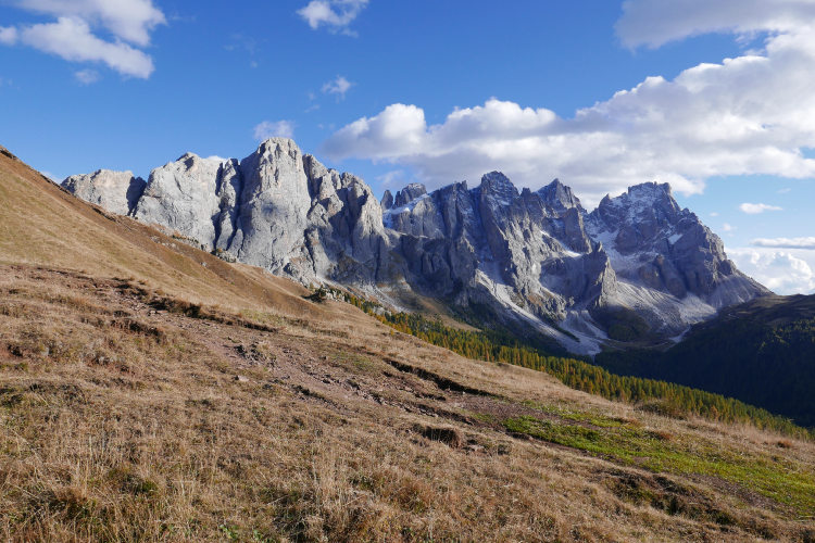
Day 8: Pale di San Martino GroupAscent 1050 m. Descent 860 m. Altitude 1930 - 2620 m. Distance 13 km. Walking time 6 hours. Today’s itinerary will bring you to the Pale di San Martino group, where the trail ascends into the high mountain region and crosses its western part. Pale di San Martino is one of the largest mountain groups in the Dolomites. A unique plateau at the center of the group is a major landmark of Pale. It is an entirely rocky landscape at an elevation of 2,500 - 2,700 meters, entirely devoid of vegetation, with hollows, patches of higher ground, and infrequent lakes. The impressions from walking through this otherworldly landscape are nothing short of spectacular. The plateau is bounded on the north and south by two mountain chains. Several more freestanding peaks stand tall in the middle of the plateau. As soon as you reach the plateau, you will have a chance to scale the Rosetta peak at the western tip of the group, which offers a full view of the plateau below. |
Day 9: Fradusta SummitAscent 750 m. Descent 1410 m. Altitude 1630 - 2670 m. Distance 11 km. Walking time 6 hours. After overnighting on the plateau, you will have the option to stray from the “official” Alta Via 2 itinerary and proceed along what we believe to be a more interesting hiking route through the central part of Pale di San Martino. You can still choose the classical route, and you will be able to decide onsite. The hike through the center of the plateau is longer. In addition to crossing the plateau, one of its highlights involves going up Cima Fradusta – the only peak deep inside the plateau. Fradusta is set apart from the other peaks and therefore offers a 360-degree view. In addition to the entire Pale di San Martino, you will also see the nearby Dolomite groups, including Marmolada that you passed three days prior. A small glacier has survived on the northern slope of the Fradusta peak. It feeds a turquoise lake at the foot of the peak. After going down the other side of the mountain, you will again find yourself in the unforgettable lunar landscape of the plateau. On reaching its eastern tip of the group, you will go down to the mountain hut. |
Day 10: Eastern Ridge of the Pale GroupAscent 950 m. Descent 1210 m. Altitude 1360 - 2230 m. Distance 8 km. Walking time 6 hours. A nameless ridge, part of the Pala Group, extends to the east of the Pale di San Martino plateau. The eastern ridge is a lengthy chain of peaks as high as 2,870 m. Scenic trails along the eastern ridge are seldom-traveled and stunningly beautiful. They take you below the crest through the Alpine meadow belt, occasionally rising into high mountain regions. The crest of the ridge gradually descends in the southern direction, and roughly at its southern tip the Alta Via 2 route goes down to the Passo Cereda pass from where you reach the base camp hotel in Fiera. |
Day 11: Departure from the DolomitesBreakfast in the hotel and departure. The 11-day Alta Via 2 ends in the village of Fiera del Primero south of Pale di San Martino which is best connected to the Venice airport. |
From Puez-Odle to Passo Rolle The 8 Day Tour includes 6 days of hiking and takes you from Val Gardena to the Passo Rolle pass, thus covering the mountain groups of Puez-Odle, Sella, Marmolada and Monzoni. It ends in front of Pale di San Martino without entering this group. |
Guided group trek along the most remote trails of Alta Via 2 from Passo Valles to Vette Feltrine On this guided group hike, you will explore the most remote part of the classic Alta Via 2. You will hike along the secured paths of Pale di San Martino and the least walked trails of the Vette Feltrine group. We will provide you with the ferrata gear on this trek. The itinerary starts at Passo Valles, which is a pass northeast of Pale di San Martino. From Passo Valles, you will go straight into the Pale di San Martino group on a secured trail thus bypassing Passo Rolle. Having reached the Pale plateau, the itinerary goes through its lunar landscapes to the southeastern tip of the group and enters the wilderness of Vette Feltrine. Despite it is part of the classic Alta Via 2 route, few people hike in this area, mostly the locals on weekends. In Vette Feltrine, the trail mostly runs on and near the scenic crest with breathtaking views. The trek finishes at Passo Croce d’Aune from where we organize a transfer to the hotel. The base camp locations for this trek are San Martino di Castrozza and Fiera di Primero. |
From Val Gardena to San Martino di Castrozza This route starts in Val Gardena and reaches the western edge of the Pale di San Martino group. On the final walking day, you will have enough time to hike up the Pale plateau and make an optional ascent to the Cima Rosetta summit on a normal hiking trail. This summit is one of the best observation points of Pale di San Martino. At the end of the day, you can use the lift to quickly descend to San Martino di Castrozza, which is one of our base camp locations for Alta Via 2 along with Fiera di Primero. |
From Puez-Odle to Pale di San Martino The 10-day tour adds almost the entire Pale di San Martino to the itinerary. This mountain group is one of the major highlights of Alta Via 2. You will cross the central plateau of Pale di San Martino before descending to Fiera del Primero. This route starts in Val Gardena and requires 8 days of hiking. |
From Brixen to Passo Cereda The 12 Day Tour covers the historical Alta Via 2 route starting near the Plose massif and ending on the Passo Cereda pass. Sadly, Plose lost its charm with the development of a ski resort, but this route option is still available if you prefer to walk along the historical route from the beginning till the end. This route requires 10 days of hiking. The base camp location for it is Brixen. |
Validity of prices: Summer 2026.
The prices are per person and include the VAT tax.
Private guided and self-guided treks are private tours on the dates of your choice.
The indicated tour duration includes the days of arrival and departure. Hotel accommodation on the day of arrival and night before departure is included in the price.
Self-guided tour. Supplement for trips for solo hikers:
8 Day Self Guided Tour | Solo supplement € 190
9 Day Self Guided Tour | Solo supplement € 190
10 Day Self Guided Tour | Solo supplement € 190
11 Day Self Guided Tour | Solo supplement € 190
12 Day Self Guided Tour | Solo supplement € 190
Private guided tours are only open to your group. The price listed on the tour page is for groups of 4 members. You can set a larger or a smaller group – please contact us for a price.
Group treks: you join a group of other hikers formed by us. Maximum group size and single supplement:
8 Day Tour Group C1 | Max 6 members | Single € 100
8 Day Tour Group C2 | Max 6 members | Single € 100
8 Day Tour Group C3 | Max 6 members | Single € 100
The trek starts in Val Gardena or Brixen depending on the route option you choose. Verona and Innsbruck are the closest airports. It takes 3 – 4 hours to arrive by train and bus from either airport to the base camp location. Other airports: Munich, Venice, Bergamo, Bologna, Milan (you may need an extra day to travel from these airports by public transport).
The trek ends in Fiera di Primero, a small town best connected to the Venice airport. There is a daily bus connection with the airport in July and August, while in June and September the direct bus connection is only available in weekends. A trip to the Venice airport takes between 3h 30m and 4h. Travel to other airports is less convenient and takes longer: Verona, Bergamo, Bologna.
We can help you plan the route from the airport and provide you with train and bus schedules: please contact us before you buy plane tickets.
Proper hiking boots are a must for the mountains. We recommend high boots because they support the ankle better than any low boots and provide better stability on a rocky terrain. Even in the middle of the summer in the Dolomites you must bring some warm clothes with you: waterproof and windproof jacket, fleece jacket, long trekking pants and a cap. A raincoat, poncho or other type of rainwear is necessary. Other necessary items are the toiletries, light clean footwear to use in the huts, sunglasses and at least 2 one-liter bottles for water. Your trip documents will include a detailed packing list specifically prepared for your itinerary. We kindly ask everyone to read it carefully and be properly prepared for the hiking trip.
The first and last nights of your trip are in one of our basecamp hotels. While hiking, you will stay overnight in the mountain huts. You can count on the following services in the mountain huts: a bed in a shared room or in a private room (must be booked in advance), shower with hot water, toilets, meals, and a possibility to buy take away water and snacks such as sandwiches and chocolate. Shared rooms are equipped with bunk beds with mattresses, pillows and blankets. Bed linen is not provided in shared bedrooms: you must have a sleeping bag liner with you. Typically, it is a light cotton bag. Warm sleeping bag is unnecessary, since there are blankets in the bedrooms. In private rooms you are often offered bed linen, thus a sleeping bag liner is not required. If you book private rooms, we inform you on whether you need to bring a sleeping bag liner. Most huts have a heating system, but it is normally not required in the summer months. You will need clean footwear for the huts: light slides are an ideal solution. For detailed information on the huts please read Mountain Huts in the Alps.
In hut-to-hut hiking tours you are served a breakfast and a dinner in the huts and mountain hotels on the route.
Normally, the breakfast is served from 7am to 9am. It usually includes an unlimited quantity of coffee and tea, bread, butter, jam, honey and chocolate spread. In addition, some huts offer ham, cheese and muesli for breakfast. After breakfast we recommend filling your thermos with hot water or tea: ask the staff, and it will be for free in most huts.
The dinner time in the mountain huts is 7pm or 7:30pm for all guests. A typical dinner in a hut is very rich and includes a starter, the first course (such as pasta, risotto, dumplings), the second course (meat with a side dish) and a dessert. Any drinks at dinner (water, wine, beer, tea, coffee) are not free and should be ordered and paid separately.
Lunch. It is possible to stop for lunch in the mountain huts on the route on most days of the trek. The lunch menu in the huts is similar to the dinner menu. Typically, there is a choice of pasta for 7 – 10 euros. Second dishes cost 9 – 16 euros.
Our guided hiking tours are led by professional guides, each with years of guiding and wilderness experience and with passion for mountains. They permanently work in the region of the exact hiking tour, have professional licenses, are experts in emergency situations, regularly upgrade their qualifications and work in accordance with national regulations.
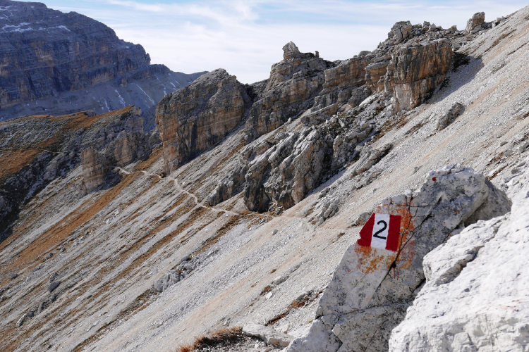
For self-guided hiking, it is necessary to be properly dressed, follow the safety rules and make realistic time calculation for day crossings – preferably according to the hiking schedule that we provide. Our self-guided hiking trips are planned so that they do not require specific skills or gear, unless it is clearly specified in the tour description. You can expect well-maintained trails equipped with direction signs. Exposed sections of the trail are secured on the self-guided routes: it makes them safe provided that you follow the basic safety rules for hiking in the mountains.
Mountains are a natural environment with a high level of risk, so we insistently ask all participants to read the safety rules and emergency procedures: Safety Considerations. If you have questions about the safety rules, please contact us +39 0463 63 60 80.
Insurance. It is important to have an appropriate insurance that covers the hiking activity. You don't need to include the climbing activity in your insurance, unless you are planning to climb during the hike.
Visa. We will provide you with a booking confirmation for all days of your trip. If you need the Italian visa, you can enclose this document with your visa application.
The most stable weather conditions in the Dolomites are statistically from the second week of July till the middle of September. This period in the Dolomites is characterized by warm sunny weather and modest rainfall. Earlier in June, the weather is normally favorable, but it is less reliable, and the mountain passes may be blocked by snow remaining from the winter. In June we may have to change the route depending on the snow situation on the passes. The second half of September in Dolomites is a beautiful period, but the weather is again less predictable: the probability of incessant rain increases, and it may snow at the altitude above 2,000 meters.
It is never hot in the Dolomites at the elevation of 2,000 m (6,560 ft) and above where most of the hiking routes pass. In a sunny day in August the temperature at 2,000 m can reach 20° C (68° F) suring the warmest hours of the day. It is comfortable for hiking. In a cold cloudy day, the temperature can stay at around 10° C (34° F) during the entire the day. It is always chilly at night and early in the morning. Thunderstorms, often with hail, are typical for the warmest months (July and August). In the Dolomites valleys at the altitudes of 1,000 – 1,500 m (3,280 – 4,920 ft) the day temperature can reach 27° C (80° F). It is fresh in the valleys in the morning and evening, and it is not stuffy at night even in the hottest weeks of the summer.